Open data
-
Blokplan can help you extract and process open geodata from OpenStreetMaps (OSM) and other providers.
OpenStreetMaps,(OSM) is a collaborative project to create a free editable map of the world. Two major driving forces behind the establishment and growth of OSM have been restrictions on use or availability of map information across much of the world and the advent of inexpensive portable satellite navigation devices.
Data from the OpenStreetMap dataset are available for free download from the download server at Geofabrik
(osm.pbf files and shapefiles).
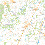
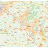
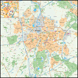
From these geodata we generate beautiful vector-maps from everywhere in the world (Illustrator.ai, PDF-format or bitmap: jpg, gif, png etc.)
For additional information:
info@blokplan.nl


